South Rim or North Rim? Choosing your side of the Grand Canyon
Two edges of the same great chasm, and two very different days out.
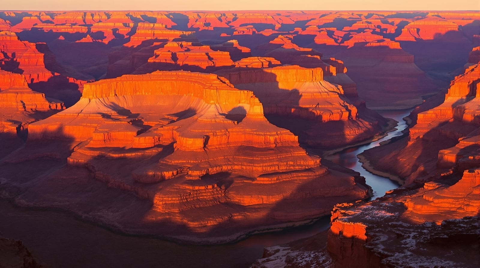
From the air the Grand Canyon looks like one wound in the plateau. On the ground it behaves like two separate destinations. The South Rim and the North Rim face each other across the gorge, close enough to see but a long drive apart, and they offer quite different experiences. Choosing between them, or deciding to see both, is the first real decision of any canyon trip.
The canyon in brief
The canyon was cut by the Colorado River through layer upon layer of rock on the Colorado Plateau in northern Arizona, and the exposed strata read like a timeline in reds, buffs and purples. Wikipedia's article on the Grand Canyon notes that the plateau the canyon bisects is over one thousand feet higher at the North Rim than at the South Rim, and that the North Rim also gets more rain and snow. That single fact explains much of the difference between the two sides: the north is cooler, greener, wetter and more remote; the south is drier, more open and far easier to reach.
The South Rim: open, accessible and busy
The South Rim is the canyon most visitors picture. It has the long promenade of viewpoints, the historic village buildings, the shuttle routes and the widest range of services. The National Park Service's Grand Canyon page states plainly that the South Rim is open all year, which makes it the obvious choice for a winter visit, a short trip or a first look.
What the South Rim suits:
- First-timers who want the big panoramic views without committing to a long drive or a hard hike.
- Families and mixed groups, because the rim walk is long, level in many sections and easy to dip in and out of.
- Winter travelers, who get the rare sight of snow dusting red rock.
- Sunrise and sunset watchers, since several viewpoints look along the canyon rather than straight across it.
The trade-off is company. In spring, summer and on fall weekends the entrance and the popular viewpoints fill up. The park's weather, webcams and road conditions page includes a webcam at the South Entrance that the park suggests using to time your arrival, alongside forecasts and road closure updates. Arriving early, walking a stretch of rim away from the main parking areas, and saving the famous viewpoints for the evening all help.
The North Rim: higher, cooler and quieter
The North Rim sits on a forested plateau of meadows, aspen and conifer, and the approach alone feels like another state. It is seasonal, with services and road access limited outside the warmer months, so check the park's current status before you plan around it. Those who make the effort usually remember the quiet: fewer people, cooler air, and viewpoints that look down into side canyons rather than across a single sweep.
What the North Rim suits:
- Travelers who dislike crowds and are happy to trade convenience for space.
- Summer visitors looking for relief from lower-elevation heat.
- Road-trippers already exploring southern Utah's canyon country, which lies closer to the north side than the south.
Walks, rivers and flights
Both rims have rim trails that let you walk for an hour or a day with the canyon always at your shoulder, and both have steep trails that drop below the rim. Walking a short way down is the best way to feel the scale of the place, but remember that every step down is a step you must climb back up, in thinner air and rising heat.
Beyond walking, two broad categories of trip reach parts of the canyon no viewpoint can. River trips on the Colorado range from gentle floats to long whitewater journeys, and they show the canyon from the bottom up, walls rising on both sides. Scenic flights, by small plane or helicopter, show how the whole system of side canyons and plateaus fits together. Both are specialist undertakings; research operators carefully and read the park's guidance before booking anything.
A winter visit
Winter at the South Rim is one of the canyon's best-kept pleasures. The light is low and golden for much of the day, the air is clear, and snow on the upper layers makes the colors below look even deeper. Pack for cold mornings, expect icy patches on paths near the rim, and check road conditions before you set out.
Heat, water and turning back
Desert heat is dangerous, and it is worse below the rim than on it. Carry plenty of water and drink it, avoid hiking in the hottest part of the day, and turn back early rather than late. The National Park Service's Hike Smart guidance for summer hiking urges caution for all hikers during the summer months because of high inner canyon temperatures, and asks hikers to check current trail conditions, water availability and heat risk before setting out.
The simplest rule for the canyon is that the hike out is always harder than the hike in. Plan your turnaround point before you start, and treat it as fixed.
So which rim?
For a first visit, a short trip or any time between late fall and spring, choose the South Rim. For solitude, cooler summer air and a sense of discovery, choose the North Rim in season. If you have the time, see both, and let the long drive between them show you the painted deserts and red-rock country in between. That country is covered in the guide to Canyon de Chelly and the parks and monuments of the Southwest, and the high-desert trails farther west are in the page on backpacking Nevada beyond Las Vegas.